DE
EN
Skip navigation
The Lechtal
Hiking Map
Villages
Alpine Huts
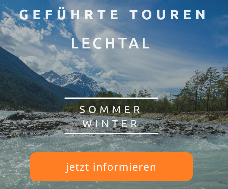
Tours
The Lechweg
Attractions
Service
Lechtal Active Card
Hiking Bus - Timetables
Accommodations
Restaurants
Webcams
Arrival
Health
Search
Namlos
Coordinates:
47.355487, 10.655330
Region:
Lower Lechtal
Elevation:
1225 m
Inhabitants:
76
Map
Karte
Wanderführer
Weather
today
tomorrow
day after tomorrow
Weather data from
OpenWeatherMap.org
Alpine Huts nearby
Fallerschein mountain pasture
Details
Michl's Fallerscheinstube
Details
Ehenbichler Alm
Details
show all
Tours nearby
Stanzach - Fallerschein
Details
Treiensee
Details
Jägersteig Namlos
Details
show all
HOME EN
Villages
Namlos